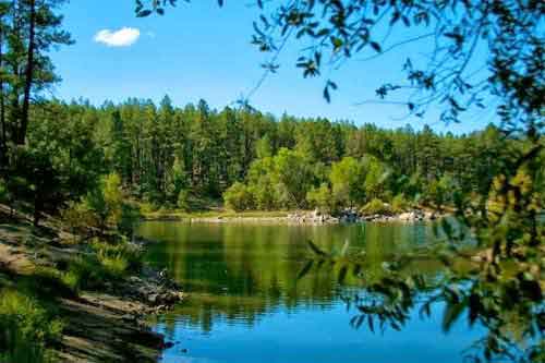
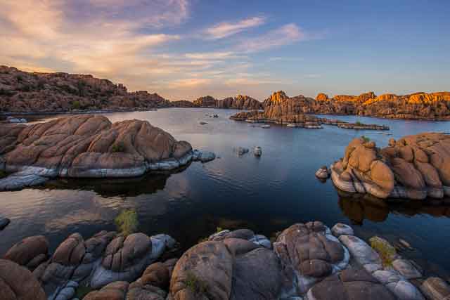
The Prescott Circle Trail links many of the city's best hiking and mountain biking areas into one roughly 55-mile route around Prescott. Instead of belonging to a single park or recreation area, the trail travels through a changing landscape of granite formations, high-desert terrain, ponderosa pine forest, lakes and mountain foothills.
You don't need to hike or bike the entire loop to experience it. In fact, most visitors will get more from choosing a section that matches their ability and interests. Portions of the Circle Trail connect with the Granite Dells, Willow and Watson Lake areas, Granite Basin, the forests south and west of town and numerous existing Prescott trails.
Treat it as a collection of connected trail experiences rather than assuming you need to complete the entire loop. Choose a section near Watson Lake for granite scenery, Granite Basin for forest and mountain terrain, or one of the southern sections for a longer backcountry-style outing.
What Is the Prescott Circle Trail?
The Prescott Circle Trail is a non-motorized trail system that forms a large loop around Prescott by connecting numerous individual trails and recreation areas.
The current route is roughly 55 miles long and includes more than 5,000 feet of cumulative elevation gain.
Recommended uses include:
- Hiking
- Trail running
- Mountain biking
- Horseback riding on appropriate sections
The trail is not uniform from beginning to end. Some portions travel along relatively smooth paths, while others cross rocky singletrack, forested slopes, granite terrain and steeper mountain sections.
For that reason, difficulty depends heavily on which section you choose.
Where Does the Circle Trail Go?
The route wraps around Prescott and links several of the recreation areas we've covered throughout Prescott.com.
Depending on the section, the Circle Trail passes near or connects with:
- Willow Lake
- Watson Lake
- The Granite Dells
- Granite Basin
- Granite Mountain area
- Thumb Butte-area trails
- Wolverton Mountain
- Goldwater-area trails
- Southern Prescott National Forest
- Eastern Prescott trail systems
This is what makes the Circle Trail so valuable to Prescott's larger outdoor network: it connects individual recreation areas that might otherwise feel like separate destinations.
Do You Need to Complete the Entire Circle Trail?
No.
For most Prescott visitors, attempting the entire loop would actually be the wrong way to approach it.
The Circle Trail is more useful as a framework for exploring different parts of Prescott. You can hike or ride one section for a few hours, return another day for a completely different landscape and gradually discover how the city's trail systems connect.
Think of the Circle Trail as Prescott's outdoor beltway, except considerably quieter and with far fewer traffic lights.
Choose a short section if:
- You only have a few hours.
- This is your first Prescott trail outing.
- You're traveling with children.
- You're adjusting to Prescott's elevation.
- You want to combine hiking or riding with another attraction.
Choose a longer section if:
- You're an experienced hiker or mountain biker.
- You have reliable navigation.
- You understand the terrain and elevation involved.
- You have transportation or a plan for returning to your starting point.
- You're prepared for changing weather and trail conditions.
Best Circle Trail Areas for Visitors
Watson Lake & Granite Dells Area
Best for: Granite scenery, first-time visitors and combining trails with lake recreation
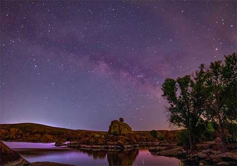
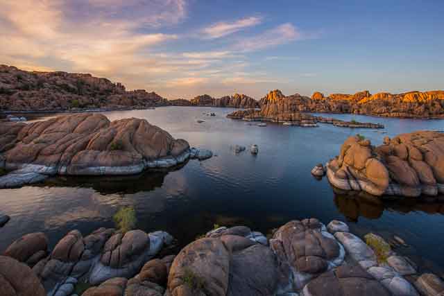
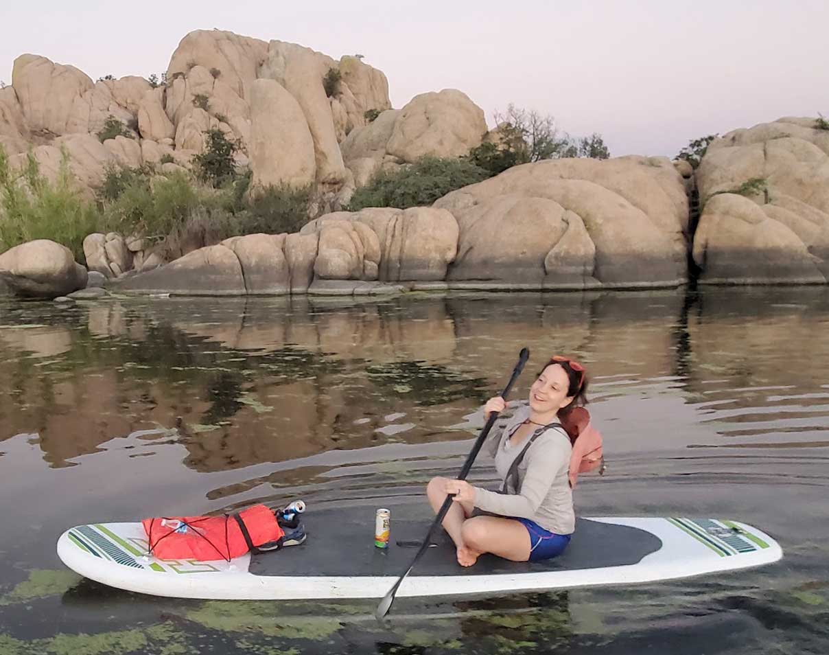
The northern and northeastern parts of the trail system bring visitors into Prescott's distinctive granite landscape around Watson and Willow lakes.
This part of town is particularly useful because you can combine a trail outing with Watson Lake, Willow Lake, the Peavine Trail and other Granite Dells routes.
Terrain varies significantly once you move away from the broader recreation paths, so don't assume every trail in the Dells is as easy as Peavine.
Granite Basin
Best for: Forest trails, longer outings and mountain scenery
The western side of the Circle Trail connects with the Granite Basin and Granite Mountain trail network.
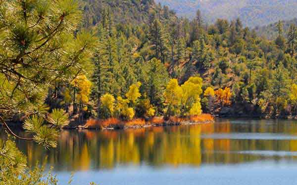
This area transitions into forest, granite outcrops and more mountainous terrain, with numerous opportunities to connect Circle Trail sections with other Forest Service trails.
Granite Basin is one of the better choices for experienced trail users who want to turn a Circle Trail section into a longer half-day or full-day outing.
Thumb Butte & West Prescott
Best for: Forest scenery and connecting with one of Prescott's best-known landmarks
The western side of Prescott brings the Circle Trail near the larger Thumb Butte trail system.
Visitors who aren't interested in a long Circle Trail section can instead combine part of the route with a hike around Thumb Butte.
Southern Prescott
Best for: Longer forest rides and hikes
South of the city, the route connects with trails near Wolverton Mountain, Goldwater-area terrain and Prescott National Forest.
This portion has a stronger backcountry feel than the urban-adjacent trail sections near Watson and Willow lakes.
Experienced hikers and mountain bikers can use these connections to create substantially longer routes.
Hiking the Prescott Circle Trail
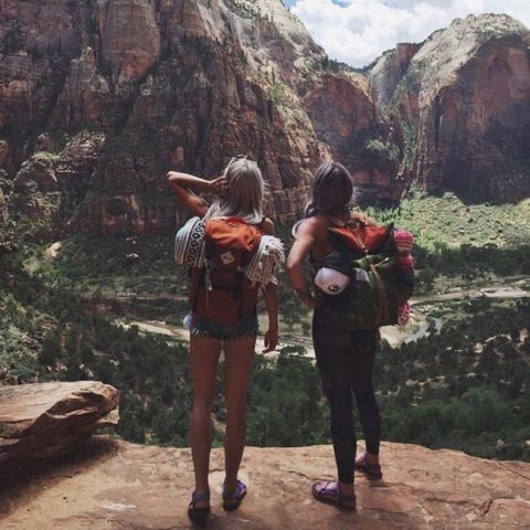
Hikers can approach the Circle Trail at almost any scale.
A visitor might walk only several miles near a recreation area, while endurance hikers and trail runners may use the route for much longer outings.
The main challenge isn't simply distance. Terrain changes continually around the loop.
Depending on your route, expect combinations of:
- Singletrack
- Granite
- Rocky climbs
- Forest trails
- Open high-desert terrain
- Short road connectors
- Long stretches without developed facilities
Use our Prescott hiking trails guide if you're deciding whether the Circle Trail or a shorter dedicated hike makes more sense for your trip.
Five miles of smooth trail and five miles of rocky mountain singletrack are not the same outing. Choose Circle Trail sections based on terrain and elevation as well as distance.
Mountain Biking the Prescott Circle Trail
The Circle Trail is an important part of Prescott's mountain biking network and allows riders to connect trail systems across the entire area.
Experienced riders can use the route to build everything from a moderate half-day ride to an ambitious endurance outing.
Expect conditions to change repeatedly. A route can move from smooth dirt to rocky singletrack, granite features, sustained climbing and forest riding over the course of a single outing.
Mountain bikers should also remember that:
- Many trails are shared with hikers and equestrians.
- Bikes should yield to horses and foot traffic.
- Some connected trails may have different access rules.
- Designated Wilderness is closed to bicycles.
- E-bike access varies by trail and land manager.
See our Prescott mountain biking guide for more riding areas, including Bean Peaks, the Granite Dells and forest singletrack.
Can You Ride an E-Bike on the Circle Trail?
Do not assume an e-bike is allowed on every segment simply because the Circle Trail is open to bicycles.
The loop crosses land managed by different agencies and incorporates individual trails with their own rules.
E-bike users should check the current regulations for every section they plan to ride, particularly when routes enter Prescott National Forest or approach areas with additional land-use restrictions.
Battery range is another consideration. Long Circle Trail rides include sustained climbing, which can consume considerably more power than cruising on level pavement.
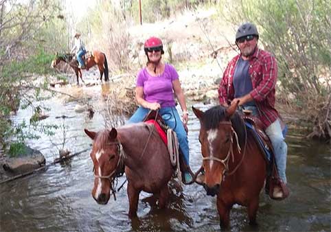
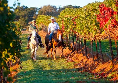
Horseback Riding
Equestrian use is another important part of the Circle Trail system.
Several connected trailheads and Forest Service areas provide horse access, including portions of the Granite Basin network.
Not every access point is suitable for trailers, so riders should plan around designated equestrian parking and current trail information.
Mountain bikers should slow down when approaching horses, communicate with riders and follow trail-yielding etiquette.
Visitors interested in a riding experience without bringing their own horse can explore our Prescott horseback riding guide.
Trail Running & Endurance Use
The Circle Trail has also become an important part of Prescott's trail-running landscape.
Its combination of mileage, elevation and varied terrain makes it useful for endurance training and organized trail-running events.
Long-distance runners should treat the route with the same planning required for a long hike or mountain bike ride:
- Carry adequate water.
- Know where resupply is possible.
- Use reliable navigation.
- Understand your planned elevation gain.
- Have a bailout plan.
Being close to Prescott does not mean every part of the trail is close to food, water or easy transportation.
How Difficult Is the Prescott Circle Trail?
There isn't one useful difficulty rating for the entire loop.
The route ranges from relatively approachable trail to demanding mountain terrain.
What matters most is the section you're using.
Easier experience
Choose shorter sections near developed trail systems and recreation areas, or use nearby routes such as the Peavine Trail if you want an easy introduction to Prescott cycling and walking.
Intermediate experience
Build a moderate section ride or hike using Circle Trail connections through established city and forest trail systems.
Advanced experience
Long-distance route combinations, substantial elevation gain, technical trail and remote sections can turn the Circle Trail into a serious endurance challenge.
Can You Do the Entire Circle Trail in One Day?
Strong endurance mountain bikers, trail runners and exceptionally fit hikers may be capable of covering large portions or the entire route in a single push, but that should not be treated as a typical visitor experience.
The full route involves roughly 55 miles of travel and more than 5,000 feet of cumulative climbing.
A complete attempt requires:
- High fitness
- Route familiarity or excellent navigation
- Adequate water and nutrition
- Mechanical preparedness for cyclists
- Weather awareness
- Enough daylight
- A bailout plan
Most visitors will have a better Prescott experience by dividing the trail into sections.
Can You Divide the Circle Trail into Multiple Days?
Yes, and this is a much more reasonable way for many experienced outdoor travelers to experience the entire system.
The City has historically mapped multi-day mountain biking options that divide the route into more manageable sections.
However, this isn't a hut-to-hut route with accommodations neatly positioned at the end of every segment.
Anyone planning a multi-day completion needs to think through:
- Transportation between access points
- Where the day's route begins and ends
- Water and food
- Lodging or camping
- Bike storage
- Road connectors
Prescott itself works well as the lodging base because you can return to town between sections rather than carrying overnight equipment around the entire loop.
Camping Near the Circle Trail
Several developed camping areas sit near portions of the larger trail system.
Depending on your planned route, options may include:
- Yavapai Campground in Granite Basin
- White Spar Campground south of Prescott
- Camping around the Lynx Lake Recreation Area
Campground seasons, reservations and services vary.
See our Prescott camping guide before building an overnight trail trip around a particular campground.
Navigation Is Essential
The Circle Trail is made from many individual trails rather than one isolated path bordered by continuous "Circle Trail" signs.
You will encounter intersections, connectors, trail numbers and nearby routes throughout the loop.
Carry:
- A current Prescott trail map
- Offline GPS mapping
- A charged phone or GPS unit
- A backup navigation method for longer outings
Do not rely exclusively on cell service.
Prescott's City and Forest Service trail networks contain many intersections. Having an offline map makes route decisions considerably easier when several trails meet in the same area.
Trail Etiquette
The Circle Trail is shared by multiple types of users.
- Bicyclists should yield to hikers, runners and horses.
- Slow down near blind corners.
- Communicate before passing.
- Give horses enough room.
- Downhill users should generally yield to uphill users.
- Stay on established trails.
- Do not cut switchbacks.
- Pack out trash.
- Avoid muddy trails.
Prescott's trails receive heavy use. A little courtesy prevents the system from turning into a 55-mile game of human pinball.
Don't Ride or Hike Muddy Trails
Prescott trail conditions can change quickly after rain or snow.
Using wet trails can cause ruts, widening and long-term erosion damage.
If your shoes, tires or horse are leaving deep tracks, choose a drier route or postpone the outing.
This is particularly important during winter freeze-thaw cycles and after summer monsoon storms.
Best Time of Year for the Prescott Circle Trail
Spring
Spring can provide excellent trail temperatures, although shaded or higher-elevation sections may remain muddy after winter storms.
Summer
Start early.
Prescott's elevation makes it cooler than Phoenix, but long trail outings can still become hot. Afternoon monsoon thunderstorms also bring lightning and sudden heavy rain.
Fall
Fall is one of the best periods for longer hikes and rides because of cooler daytime temperatures.
Winter
Some sections remain usable during dry periods, while others may hold snow, ice or mud.
Check the Prescott weather and current trail conditions before heading out.
Water & Heat
Do not assume that passing near lakes means reliable drinking water will be available along the route.
Carry enough water for your planned section or identify confirmed refill locations beforehand.
Prescott's dry air and elevation can increase water needs even when temperatures feel comfortable.
Long-distance users should also carry electrolytes and enough food to maintain energy throughout the outing.
Wildfire & Forest Conditions
Portions of the Circle Trail cross forest lands where wildfire restrictions, emergency closures or active fire conditions can affect access.
During dry periods, check current Prescott National Forest information before beginning a long ride or hike.
A closure somewhere else around the loop can matter considerably when you're planning a 20-, 30- or 50-mile outing.
See our Prescott National Forest guide for additional forest recreation information.
Dogs on the Prescott Circle Trail
Dogs can accompany hikers on many sections of Prescott's trail system, but rules vary by land manager and location.
A long Circle Trail outing also introduces additional considerations:
- Hot trail surfaces
- Limited water
- Wildlife
- Mountain bikes
- Horse traffic
- Long distances between easy exit points
Choose a route appropriate for your dog's fitness rather than assuming every healthy dog should accompany you on an endurance hike.
Coming soon: Our Dog-Friendly Prescott guide will compare parks, trails, lodging and outdoor activities for travelers visiting with pets.
Prescott Circle Trail or Peavine Trail?
These serve completely different purposes.
- Choose Peavine Trail: Easy, scenic walking or cycling with Watson Lake and Granite Dells views.
- Choose the Circle Trail: Longer trail exploration, route-building and connections across multiple Prescott landscapes.
Peavine is better for most first-time recreational cyclists and families. Circle Trail sections become more valuable as your experience and ambitions increase.
Prescott Circle Trail or Constellation Trails?
Again, scale is the main difference.
Constellation offers a compact network of shorter granite trails. The Circle Trail is the regional connector.
- Choose Constellation: Short Granite Dells hike or technical mountain bike session.
- Choose Circle Trail: Longer-distance travel and connections between Prescott trail systems.
See our Constellation Trails guide when comparing shorter Granite Dells routes.
Build a Prescott Trail Weekend
The Circle Trail makes much more sense once you've sampled several of the places it connects.
Day 1: Granite Dells
Explore Watson Lake, Willow Lake, the Peavine Trail or Constellation Trails.
Day 2: Granite Basin
Head west to Granite Basin for forest trails and mountain terrain.
Day 3: Southern Prescott
Explore another Circle Trail segment through the forest south of Prescott or combine hiking with Goldwater-area recreation.
After a few outings, the Circle Trail stops feeling like one enormous trail and starts making sense as the framework tying Prescott's outdoor landscape together.
Where to Stay for a Circle Trail Trip
Because the trail wraps around the city, there isn't one obvious "Circle Trail hotel."
For most visitors, staying in Prescott is more practical than trying to position lodging beside a particular trail segment.
You can drive to a trailhead in the morning, return to town afterward and still have easy access to restaurants, shops and evening activities.
Browse our Prescott lodging guide for hotels, cabins, vacation rentals and other accommodations.
More Prescott Trails & Outdoor Areas
- Prescott hiking trails: Compare individual hikes by scenery and difficulty.
- Prescott mountain biking: Find additional trail systems and bike-specific terrain.
- Granite Dells: Explore Prescott's signature granite landscape.
- Watson Lake: Combine hiking and cycling with lake recreation.
- Willow Lake: Add paddling, fishing and birdwatching.
- Peavine Trail: Choose one of Prescott's easiest scenic trails.
- Granite Basin: Explore forest trails and connections on the western side of Prescott.
- Thumb Butte: Hike one of Prescott's best-known landmarks.
- Prescott National Forest: Explore the larger forest surrounding the trail system.
- Prescott outdoor activities: Find additional hiking, riding, paddling and adventure ideas.
Prescott Circle Trail FAQ
How long is the Prescott Circle Trail?
The Prescott Circle Trail is roughly 55 miles long. Exact mapped mileage can vary slightly as trail segments and connectors are updated.
How much elevation gain is on the Prescott Circle Trail?
The complete route includes more than 5,000 feet of cumulative elevation gain, with elevations ranging from roughly 5,100 feet to nearly 6,700 feet along the trail.
Do you have to hike the entire Prescott Circle Trail?
No. Most visitors experience individual sections of the Circle Trail rather than completing the entire loop. Numerous trailheads and connected recreation areas make shorter outings practical.
Can you mountain bike the Prescott Circle Trail?
Yes. Mountain biking is one of the principal uses of the Circle Trail, although connected trails may have different access rules and bicycles are prohibited inside designated Wilderness areas.
Can you hike the Prescott Circle Trail?
Yes. Hikers can use sections ranging from shorter recreational outings to long-distance endurance routes.
Can you horseback ride the Prescott Circle Trail?
Horseback riding is permitted on many sections, with equestrian-friendly access available at selected trailheads and recreation areas.
Is the Prescott Circle Trail difficult?
Difficulty varies significantly by section. Some portions are relatively approachable, while others include rocky terrain, climbing and more remote forest singletrack.
Can you complete the Prescott Circle Trail in one day?
Highly experienced endurance cyclists, runners or hikers may attempt very long sections or the entire loop, but most visitors are better served by dividing the route into smaller sections.
Does the Prescott Circle Trail go through the Granite Dells?
The trail system connects with the northern Prescott recreation network around Watson Lake, Willow Lake and the Granite Dells.
What is the best section for first-time visitors?
Visitors new to Prescott can start with trail areas around Watson and Willow lakes or use nearby Peavine Trail for an easier introduction before tackling more demanding Circle Trail sections.